
Search an Everett Street by Address
An Everett street search works best as a handoff between records, not as a single name search. Begin with the exact physical address in the Everett Patriot Properties database. The returned Everett location and Everett parcel ID create a stable starting point even when a historic source shortens a street suffix or uses an older format. From there, the Everett record trail can distinguish an Everett tax parcel, an Everett recorded transfer, an Everett voter-list request, and a dated Everett library listing. Each answers a narrower question than a general claim about who is present at an Everett address.
- Enter the physical street number and street name in Everett Patriot Properties. Save the displayed location, parcel ID, owner of record, land-use code, sale fields, and book/page reference.
- Open the Everett GIS route and use the Everett parcel ID and Everett situs location to find the same property. Zoom until the parcel edges are readable, then note adjoining parcels and the visible layers.
- Use the surrounding Everett parcel IDs in Everett Patriot to compare physical locations. An owner field and a tax-mailing field are separate from a statement about present occupancy.
- Take the book/page or party name to the Middlesex South Registry. Search Town = Everett, narrow by party, document, and date, then read the recorded instrument and its legal description.
- For a defined lawful purpose, ask Everett Elections or the Everett City Clerk about the available public voter-list fields. For an earlier Everett period, compare the relevant directory or resident listing rather than treating a current list as history.
Street spelling matters. The Everett Assessor advises trying owner, street, abbreviated street, and parcel when an Everett search misses. Preserve the Everett portal’s displayed wording, then compare it against USPS, Everett GIS, and the underlying deed before deciding that two address strings refer to one Everett parcel.
Everett Street Directory Search Fields
Patriot is the city’s practical address-keyed assessment source. It allows street and owner searches, plus filters that help separate similarly named places or parcels. Its results can sort by headings and open detail screens. A book/page value is only a lead to the Registry, not the full text of a transfer. The January 1 assessment date and fiscal-year context should stay with any value or ownership result because assessment and recording schedules differ.
| Patriot field | Use for an Everett address search |
|---|---|
| Everett parcel | Use the exact Everett parcel or account identifier as the durable key. |
| Everett owner | Test name variants, then confirm against the Everett physical location. |
| Everett street name and number | Search the Everett situs location and retain the portal’s abbreviations. |
| Everett building, lot, and finished area | Use range fields to narrow a broad Everett street result when needed. |
| Everett land-use and neighborhood codes | Copy the Everett code with its displayed description, not a guessed label. |
| Everett sale date, price, book and page | Use as a dated route into the Everett recorded-land search. |
No Everett field was observed as required, and an empty Everett search can create an unwieldy result set. The portal also exposes beds, baths, value, and year-built ranges. Those are Everett assessment fields, not a roster of people at the location.
Everett Parcel Maps Along a Street
The Everett GIS program links to ArcGIS web maps and the city’s open-data group. It is the right tool for map position and adjacency. It is not a substitute for the assessment roll. The text research did not verify the live layer names, popup schema, or a buffer control, so use only controls and fields visible in the live map. Record the selected parcel, map scale, legend, and adjoining polygon before making a comparison.
See the official GIS page before opening the city map.
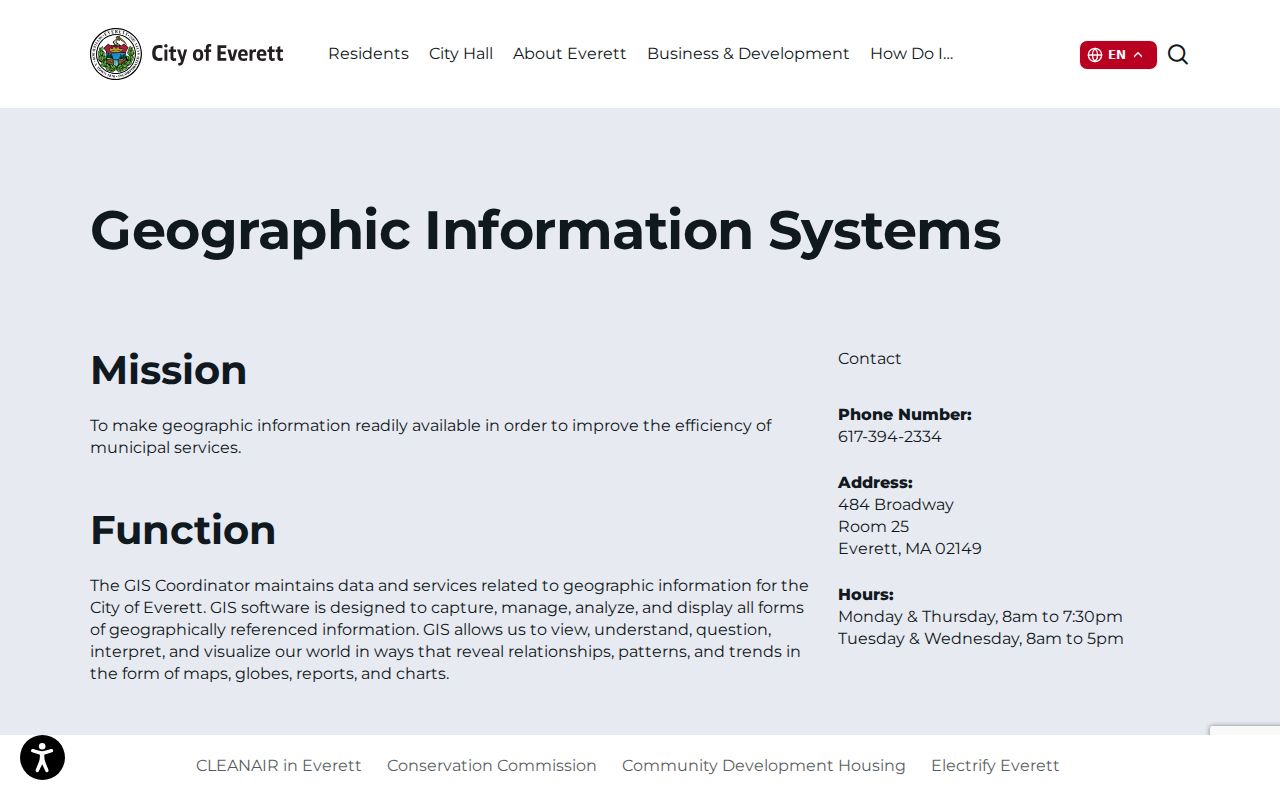
The official landing page establishes the city source for the map and open-data links. Pair the selected polygon with Patriot rather than assuming the GIS display itself supplies the current owner field.
For a street segment, pan along the roadway and click successive visible polygons. Then compare each situs address and parcel ID in Patriot. A map may put two parcels side by side, but it does not establish a shared household, a current contact route, or a common owner.
Everett Address Records Compared
Different keepers answer different address questions. The table separates record purpose from access so a reader does not treat a map, a recorded party, or a historical listing as the same kind of evidence. When a record is not online, the documented route is a narrowly scoped city request or a repository inquiry, not a claim that the material is unavailable.
| Address record | What it can show | Everett access route |
|---|---|---|
| Everett Patriot assessment roll | Everett parcel ID, situs, owner, value, building details, land use, sale fields, and book/page. | Everett online portal, then Everett Assessor staff at 484 Broadway, Room 11. |
| Everett GIS parcel map | Everett parcel geometry, adjacency, map position, and visible public layers. | Everett GIS page and ArcGIS maps; visible-layer details require live inspection. |
| Everett recorded land | Everett parties, instrument type, recording date, book/page, legal description, and plans where applicable. | Middlesex South MassLandRecords, Registry counter, mail, or email copy route. |
| Everett public voter-list fields | Defined public fields for Everett registered voters, subject to state confidentiality limits. | Request a defined field set from Everett Elections or the Clerk. |
| Everett permit or code material | Everett address, case or permit number, work or violation description, and date/status where public. | Written request to the Everett city department for a narrow address and date range. |
| Everett directories and resident listings | Dated Everett name and address clues, with directory-specific notes. | Everett Parlin, State Library, archives, and listed digital collections. |
Patriot has no ZIP field in the observed advanced form, and MassLandRecords uses town rather than ZIP. For postal validation, run the complete address through USPS, then compare the returned delivery form with the current parcel location. 02149 is Everett’s primary postal ZIP, but a postal label is not a municipal boundary or proof about a person.
Middlesex Deeds for Everett Streets
The Middlesex South Registry of Deeds, at 208 Cambridge Street in Cambridge, serves Everett land records. Its public research hours are Monday through Friday, 8:00 a.m. to 4:00 p.m.; recording ends earlier. MassLandRecords offers recorded-land name, document, book, property, recorded-date, and unindexed-property searches, along with separate registered-land and plan menus. Search and viewing are described as free, while certified copies follow the Registry’s paid copy route.
Start with Towns = Everett, a party name or owner clue, a document type, and a narrow date window. Note the parties, instrument type, execution and recording dates, book/page, and whether an image is available. The Registry’s online grantor-index release covers 1896 through 1973, and the portal exposes unindexed property mode for Book 1 through 1024. Those facts do not mean all instruments or images from every period are indexed online.
When a transfer involves several lots, an estate, a trust, or a subdivision, follow the legal description and plan references. A street number alone can fail as lots change. Older or unindexed work may require a Registry terminal, staff help, deed books, microfilm, or a written copy request.
Everett Street Listings Through Time
For historical street-by-street clues, use the collection year rather than a broad modern conclusion. Everett Public Libraries has digitized resident listings for people age 17 and older across uneven years from 1933 through 2013. The Massachusetts State Library lists Everett city-directory holdings from 1870 into 1940, while the National Archives identifies an Everett directory reference for 1928 through 1934. Each volume can have its own publisher, arrangement, and omissions.
Henry M. Meek’s 1906 and 1908 Everett directories include alphabetical material, street sections, business listings, and abbreviations. The 1908 volume is a useful dated street source, but a listing does not prove legal ownership or every person connected with an address. The historical collections themselves are described with their holdings and access notes in the Everett city directory.
The Library of Congress also provides a public-domain 1955 Everett Sanborn set with 78 sheets. It can place a building footprint, use, or fire-insurance detail in that map year. It cannot identify who lived at the building.
Everett Address Terms Defined
Address research gets clearer when the key labels stay separate. The same parcel can carry a physical location, an owner name, a tax correspondence address, and a legal description. Record each exactly as displayed before comparing sources.
- Parcel
- A locally assigned unit of land used by the Assessor and GIS. Its identifier is often the best bridge from a street search to a deed.
- Situs address
- The physical location of the parcel used for assessment and mapping. It is different from the tax mailing address.
- Plat or plan
- A recorded map or plan that describes lots, lines, or subdivisions. It can resolve a deed whose street number is missing or has changed.
- Criss-cross directory
- An address-oriented directory arrangement used to connect a street location with a historical listing in a particular edition.
A tax mailing field can point to a representative, an organization, or an address outside Everett. It is a correspondence clue, not proof that the addressee lives at the situs.
Everett Street Map History
Everett grew quickly after rail service arrived in 1854 and streetcars in 1858. The MHC reconnaissance describes Everett Square as a civic and commercial center, Glendale Square around Ferry and Broadway, Main and Chelsea commercial activity, Beacham Point industry, and worker-house concentrations near Hendersonville and Bow Street. These are historical place clues, not present-day legal neighborhood boundaries.
Rapid growth helps explain why a directory, map, and parcel record may use different address formats. No authoritative complete Everett renumbering or readdressing chronology was located. If an older address does not geocode, compare the original directory string, a Sanborn sheet, an architectural card, the current parcel ID, and the modern situs. Do not assume a renumbering without records that establish it.
Everett Street Map Evidence
The ArcGIS route is most useful when it preserves what was visible at the time of review. Note the selected parcel, its edge relationship with nearby polygons, the map extent, scale, legend, and any active public layer. The live map was not text-verified for layer names or tool controls, so an image should never claim an unseen layer or a radius result.
Open the Everett ArcGIS home to access the city’s published map environment.
This map view is evidence of parcel context, not a person listing. The next check is the linked Patriot parcel result, followed by the date-stamped Registry instrument where a transfer needs confirmation.
Everett Address Record Requests
Some street material is request-led. For permits or code cases, identify the street segment, a realistic date range, and the particular records sought. The city may need a narrow request and can redact private plans or contact information. If the request moves to another custodian, ask which office holds the material and what exemption controls any withheld part.
The Massachusetts Public Records Law is M.G.L. c.66 §10, with the public-record definition in c.4 §7(26). Everett’s municipal request portal is available through the city’s public-records request route. A written request creates a useful record of scope and dates. The law does not require the city to make a new household list or disclose protected information.
Everett Street Directory Privacy Limits
A street directory cannot establish every person at an address. Public land records identify recorded parties, and Patriot identifies the owner of record for assessment. Neither necessarily identifies other people connected with the location. Public utility and delivery-customer data are not assumed available. RMV information is restricted, and protected voters, Address Confidentiality Program participants, and sealed or impounded court material have separate safeguards.
Absence from an index does not prove that nobody was there. Presence in an owner, deed, voter, or directory record also needs its date and record type before it can support a careful conclusion.